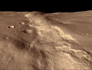
"This image from NASA's Mars Reconnaissance Orbiter spacecraft generated from digital topography taken on March 24, 2006 and released by NASA April 6, shows an overview of the Mars terrain covered in this first color image of Mars from the high resolution imaging science experiment (HiRISE) camera on the Orbiter. The images reveals gullies, pocked craters and wind-formed dunes on Mars' southern hemisphere. Image released April 6, 2006."
Amazing what science can do, eh?


No comments:
Post a Comment